
Assessment tool launched for Wheatbelt woodlands
The woodlands of the WA Wheatbelt have been preferentially cleared since settlement to make way for prime agricultural land.
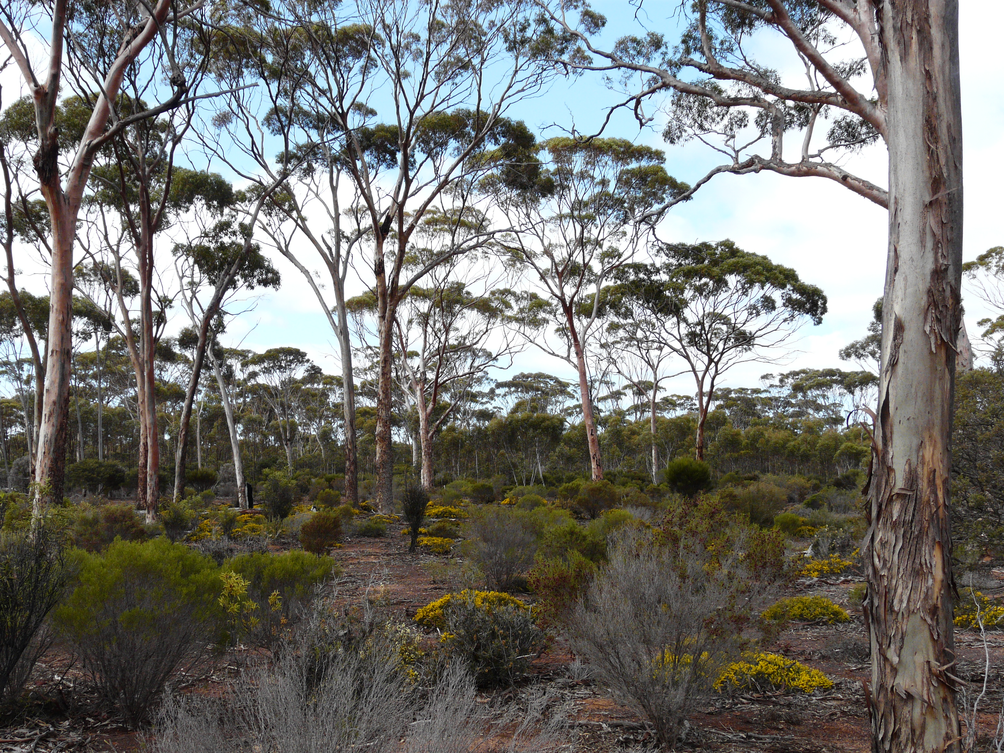
As a result the remaining woodlands have been identified as a Threatened ecological community (TEC). These woodlands are found nowhere else in the world and this listing recognises their uniqueness and irreplaceability.
The listing is very complex and covers 31 key Eucalypt species, 28 vegetation communities and 62 sub communities.
With this level of complexity how, as the largest manager of woodland, is the community of the Wheatbelt going to recognise when they have these special places on their land.
To simplify this Wheatbelt NRM has developed a tool that can be used to help determine whether the area is likely to be classified as the TEC.
To see if your patch of bush, or the local reserve is this important vegetation type download the Survey 123 App (free on Google and Apple) and complete a self-assessment for your patch. It is easy and you don’t need scientific knowledge.
Downloading the App to your phone means it can be used offline when there is no mobile service.
Wheatbelt NRM is working with the managers of Wheatbelt Woodlands to ensure these icons of the Wheatbelt are protected for our future generations.
What is the Wheatbelt Woodlands TEC?
- 31 key Eucalypt species that dominate or co-dominate the Eucalypt woodlands
- Form 28 communities & 62 sub-communities
- Woodlands are very diverse and complex, which sometimes makes it a challenge to identify whether a remnant is classified as this TEC or not
- However, they all have the same main components
- Trees typically spaced and the canopy is relatively open
- The dominant tree is one of the 31 key Eucalypt species
- Tree or mallet form (mallees may be present as an understorey species)
- There are mature trees present (mature defined as diameter >30cm)
- Sparse tree canopy cover up to 40%
How to Use This Tool?
- Download the Survey123 app at the Apple Store or Andriod Play (Don't worry about Logining in at this stage)
- Open your camera on your smart device and scan the QR code below
- Once scanned, two options will appear, you can either open Survey123 on your smart device (we suggest setting up the App beforehand if where you are going to be using the surveying has poor reception)
or on your internet browser
- Attached in the downloads in a Step-by-Step guide on how to use the Tool
Scan this QR Code to access the Wheatbelt Woodlands Survey
