

We probably don't need to tell you that it's been a wet couple of weeks here in the Wheatbelt!
If you've been adversely affected by the floodwaters there is help available to assist landholders recover from a natural disasters and to help individuals, families and communities to get back on their feet.
Below are a couple of pictures sent in by landholders and staff members, from around the Wheatbelt.
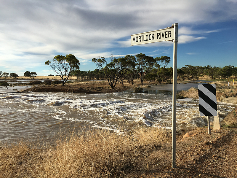
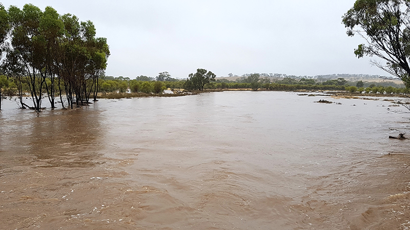
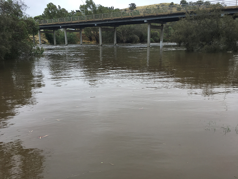
Mortlock River in flood
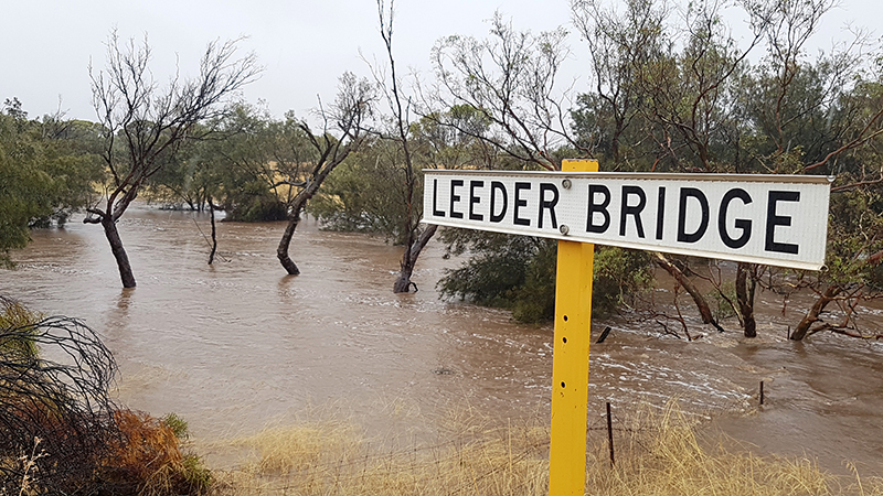
Leeder Bridge, Grass Valley
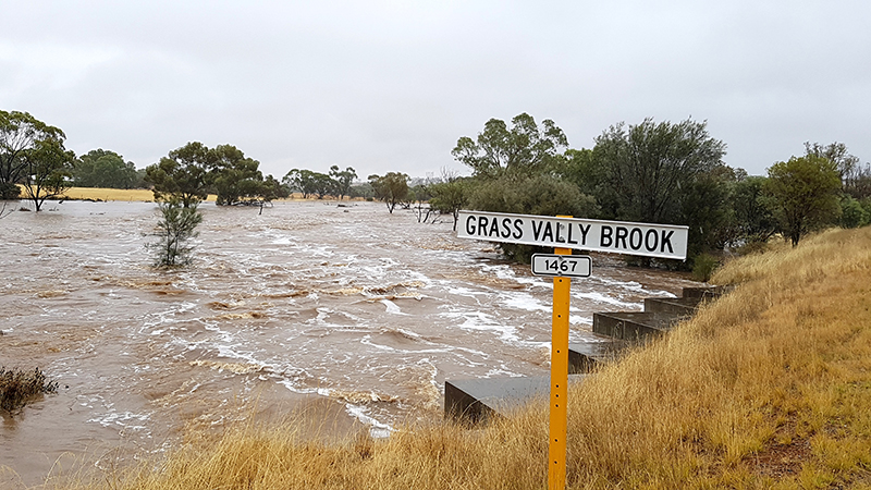
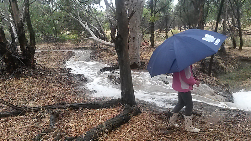
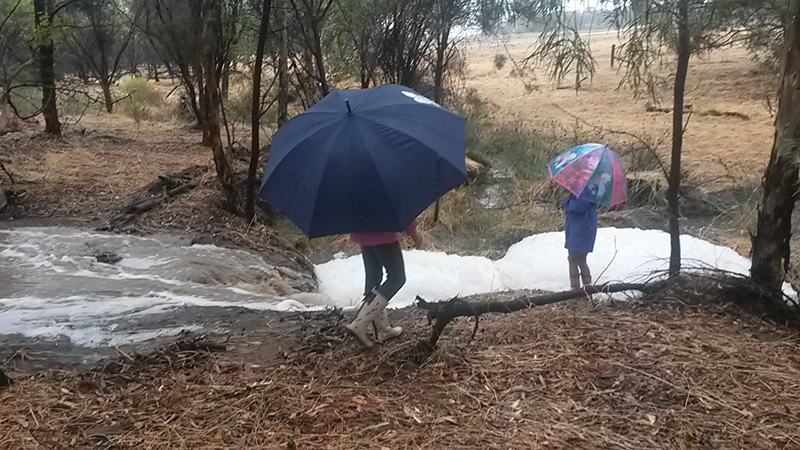
Grass Valley Brook - bone dry just three days before this photo
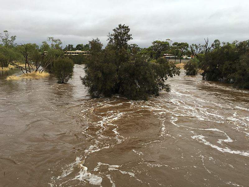
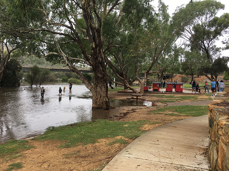
Mortlock River, Northam
Flooded sandalwood plantation on the Mortlock River
St John's Brook, Toodyay
St John's Brook, Toodyay
Avon River, Toodyay peaked at 4 metres

Toodyay Brook crossing, Toodyay
Toodyay Bridge

Bejoording Road, Bejoording

Farmland affected in Shire of Kulin
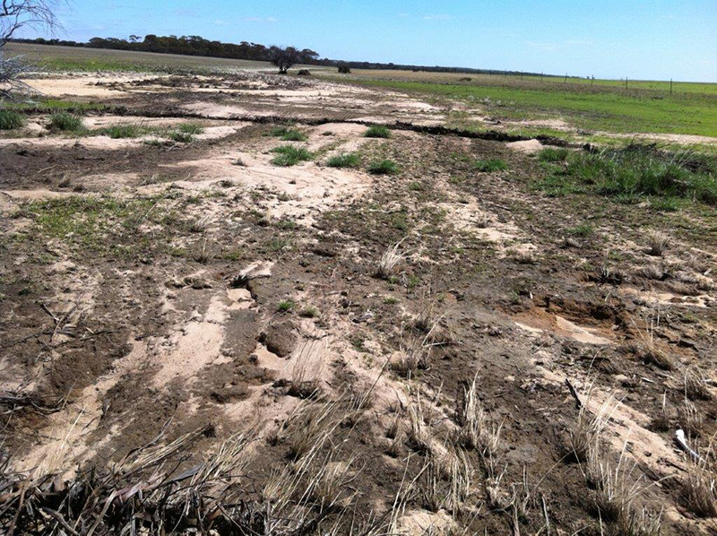
Farmland affected in Shire of Kulin